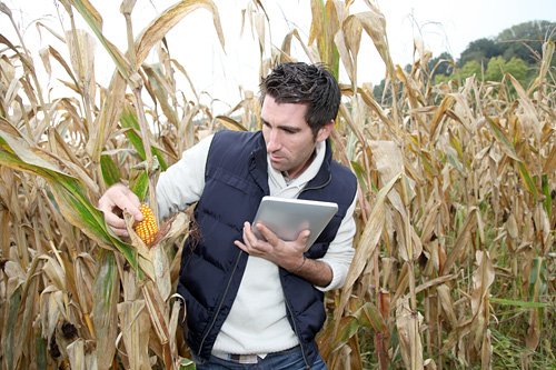
of your data collection
GPS Mapping
Manage Remote Field Workers
When you’re collecting data in the field, there’s no guarantee that your physical maps are accurate. That’s why Harvest Your Data have implemented the GPS mapping feature for surveys and questionnaires.
You can set up your survey to record time stamped GPS co-ordinates for each survey result collected on your iOS or Android mobile device. The Android app can be customized to capture the GPS location of a mobile device and display the real time GPS accuracy to the user.
The survey GPS co-ordinates can be downloaded in the CSV results and mapped using Google maps. Keep track of where your field workers are working, or map your survey results to give a bird’s eye view of the territory you’ve covered. The GPS mapping features ensure that you stay in control and that your data collection campaign stays on track.


